

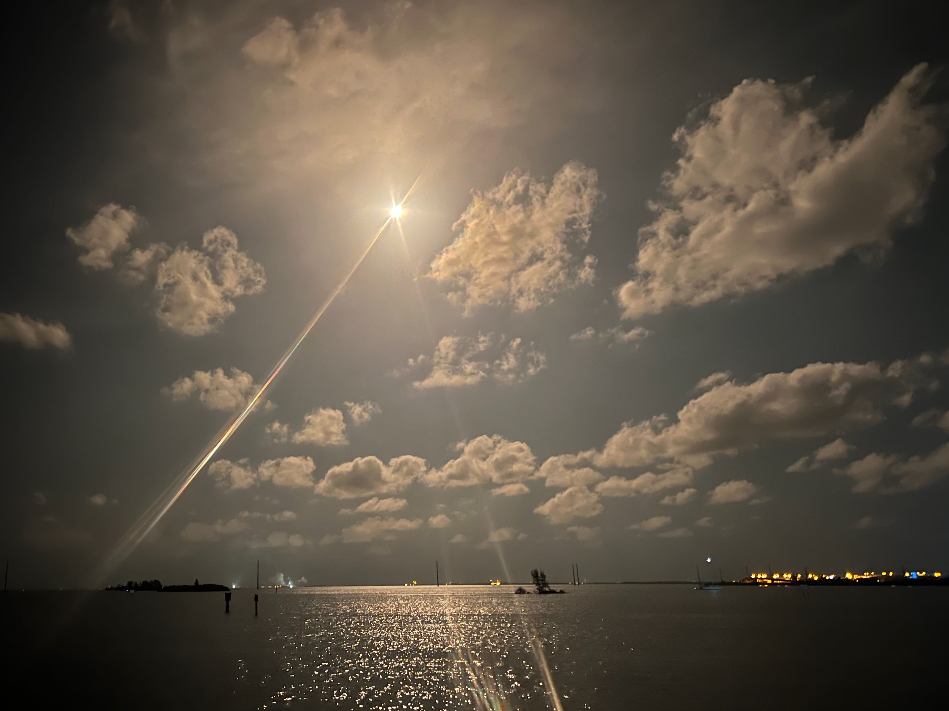
If you live in Florida close to Cape Canaveral, rocket launches like this photo of one we witnessed actually become a bit ho-hum because they are so frequent. But our ability to launch and land rockets, send satellites into space, to navigate our way through unknown cities with Google Maps, or for Ukraine to send drones to attack Russian oil refineries all depend on a mathematical model of the shape of the earth. And while today, people all over the world carry GPS in the phones in our pockets, in the first half of the twentieth century, nearly every country on earth had a different mapping model.
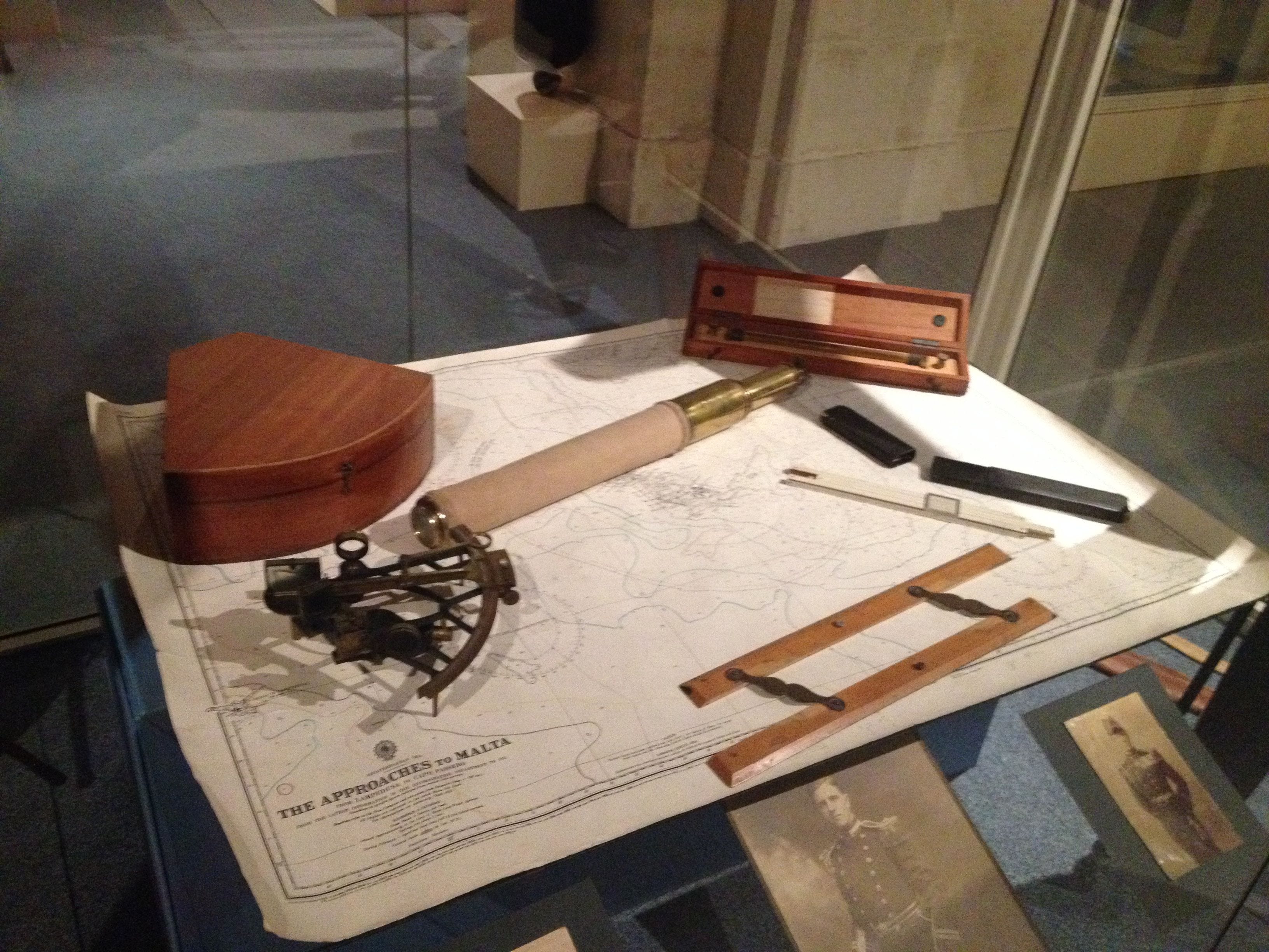
This is a photo I took of a chart table in a museum in Malta, but it looks very similar to a spread of the tools I used when I first crossed the Pacific in 1975. A paper chart, sextant, dividers, parallel rulers.
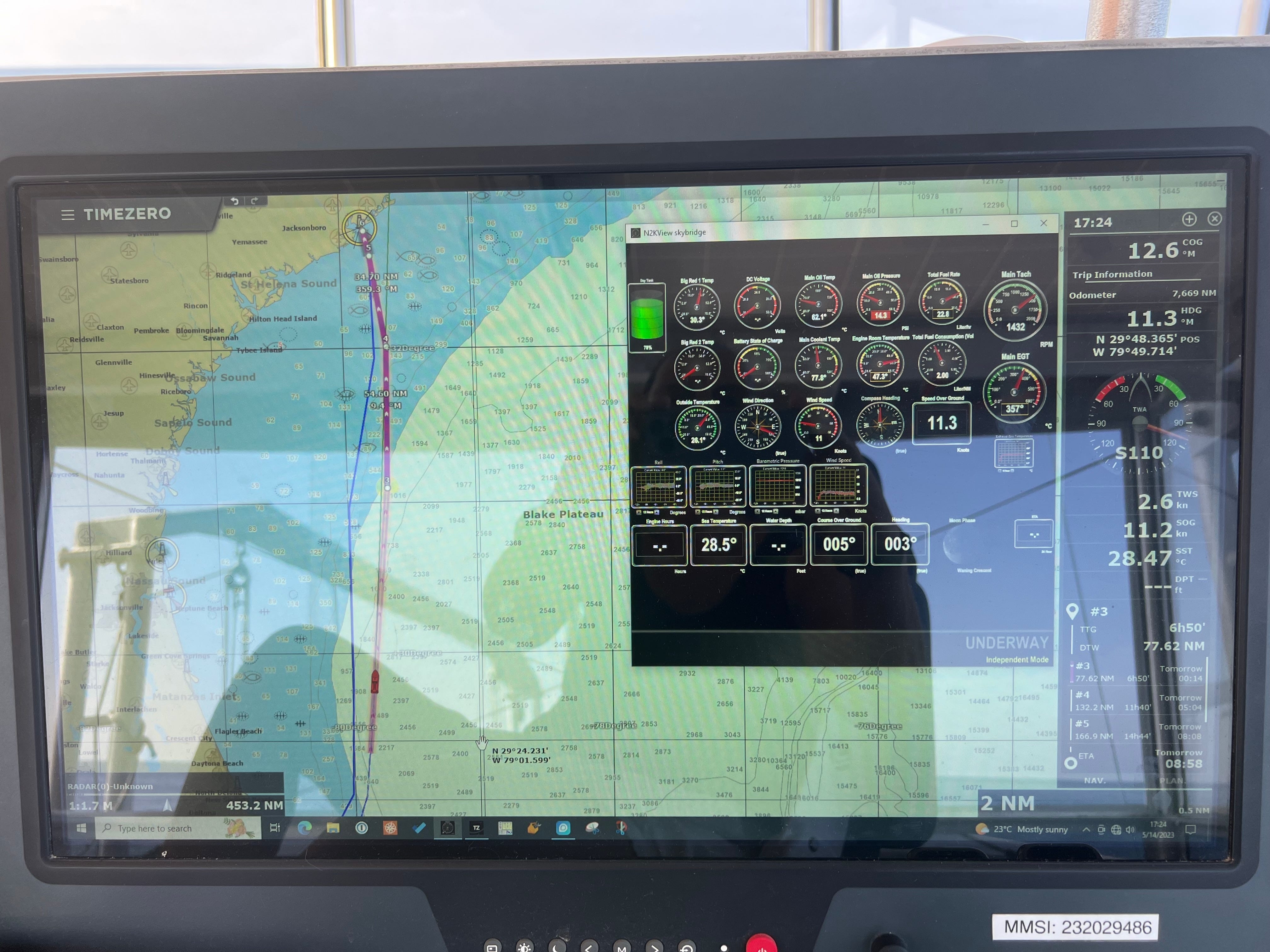
This is a photo taken the day after that rocket launch of one of two navigation screens we had at the upper helm on Möbius when we were crossing from Cape Canaveral to Charleston, South Carolina. We were running Time Zero navigation software as well as Maretron N2K view for monitoring our data collection (sorry about the reflection). Imagine, the U.S. military launched its very first GPS satellite only in 1978. It’s difficult to fathom how much navigation has changed for sailors in 50 years.
And most of that change came about because of this secret team of cartographers who flew to France shortly after D-Day.
I explained here before that I made the character of my novel Whiskey Creek have map-making and navigation as her super power. And I wrote a post about the real history of the Military Mapping Maidens, the women recruited from universities who drew the 70 million maps the Allies needed for D-Day. I ended that newsletter with a promise: the story of the secret mission to grab all the Nazi map data at the end of the war. Here it is — the little-known story that became the heart of Whiskey Creek.
So, remember the problem the Allies faced: the French surveyed with the Bonne projection, the Germans used Gauss-Krüger, the Americans used Polyconic. Europe was a patchwork of roughly twenty separate geodetic datums that didn’t agree with each other about where anything was. You cannot aim an American howitzer with German coordinates. The math simply doesn’t work. Somebody was going to have to gather up all of it — every national survey, every observation notebook — and weld it into one system. Whoever managed to do that had the potential to become a super power.
Enter Floyd W. Hough. If you were casting a movie, you surely would not pick this guy: a short, un-smiling, 46-year-old civil engineer from Cornell with receding red hair and wire-rimmed glasses. He’d spent his career running survey parties across the American West. But Hough understood geodesy — the centuries-old science of measuring the earth — the way a bluewater sailor understands weather. And he went to his bosses and convinced them it was imperative for the Americans to collect all the data and instruments the Germans had.
The Army gave him nineteen hand-picked people, some military, some civilians, 1,800 pounds of microfilm equipment, and special blue passes from Allied headquarters that let them roam freely in the combat zone. The mission was so secret that one team member was ordered not to open the envelope with his orders until two hours after his plane took off.
HOUGHTEAM, as the unit was called, may be my favorite band of misfits in the whole war: a map curator from the University of Chicago, a linguist who spoke five languages but couldn’t manage small talk, a Kentucky blue blood dude who annoyed the GIs by stopping to paint watercolors, several Ritchie Boys, refugee interrogators from the secret camp at Ritchie, Maryland — and two members of the Women’s Army Corps.
One of them, a geography teacher from Illinois named Mildred Smith, was brought on as a clerk. Hough noticed she was too sharp for the filing, and soon “Smitty” was hunting the map shops of Paris and being sent to London on research missions. A WAC clerk who became more than a clerk. If you’ve read Whiskey Creek, you know exactly why I fell in love with that detail. Annie Jeeves found her way onto my fictional version of that team for the very same reason.
I wove my fictional character through the real events as the team went to Paris and endured a rough winter. Like Smitty, Annie rode her bicycle through the streets of Paris visiting flea markets and the book sellers along the Seine.
While the team stayed in Paris, Hough left and found files roped into bundles outside a bombed technical university — the Germans had run out of time to load the trucks. Inside: precision survey data for territory the Allies hadn’t reached yet. His team microfilmed it and rushed it forward, and the artillery was using it to aim within days. In Wiesbaden they found eighteen bundles of secret survey sheets hidden behind a pile of rubbish. And under interrogation, a captured German officer finally went pale, sat silent, and then blurted out a single word: Saalfeld.
Saalfeld was a little town in Thuringia known for porcelain dolls. On April 17, 1945, HOUGHTEAM walked down an alley there and opened a warehouse door on the mother lode: a room thirty feet by fifty, shelved to the ceiling — the entire map and geodetic data repository of the German Army, moved out of Berlin to escape the bombing.
But here’s the part that gets my storyteller’s heart beating faster. Saalfeld sat inside what was already agreed to become the Soviet occupation zone. When the war ended, which at that point was any day now, everything in that warehouse would belong to the Red Army. Hough begged headquarters for 150 soldiers to secure the town, slept in the warehouse with his men to guard it from looters, borrowed trucks and light planes from every unit in the area, and conscripted German civilians to load crates. By V-E Day they had hauled out 35 truckloads. By June 1, some 250 tons of maps, instruments and data were safe in the American zone. The Soviets took possession of Saalfeld on July 2. Hough’s team was still moving material out on July 1. One day.
After the war, Hough continued to work as the head of the Geodetic Division of the Army Map Service. By 1951 they had developed the European Datum, or ED50 which became the foundation for Universal Transverse Mercator, the standard coordinate system used by the U.S. military and NATO and served as the precursor to GPS.
At the start of WWII, we hadn’t been able to target a military installation on the other side of a hill. Through the Cold War years, Americans were able to target Red Square with Intercontinental Ballistic Missiles.
When Wayne and I made our last ocean crossing aboard M/V Möbius in 2023, we carried digital charts of the whole world, redundant GPS heads and a satellite compass. Somewhere between the end of World War II and that last passage, the patchwork maps of earth got stitched into a single, seamless mathematical whole and hundreds of satellites were flown into space to give us the GPS we know and love today.
Yet that stitching began in a doll-factory town in Thuringia, with a red-haired surveyor and a WAC clerk who became more than a clerk. You gotta love history, right?
If you want to go deeper into the true story, Greg Miller’s wonderful piece in Smithsonian Magazine here is where to start.
Whiskey Creek is my fictional window into that world — Annie’s war begins on a charter fishing boat in Fort Lauderdale and ends behind enemy lines chasing exactly this map data. It’s available now at all the bookstores — Amazon, Apple Books, Kobo, Barnes & Noble, Google Play. Just click on the book cover below.

Do any of you have memories of using a sextant or trying to find your way somewhere without GPS, using only dead reckoning? Please share your stories of navigating in the comments below.
Fair winds!
Christine
My family lived in Columbus, Georgia when I was in high school. One night I told my boyfriend at the time that he could not drive me anywhere where I could not find my way back to a known landmark. He took me up on the challenge, and he drove around while I kept my eyes shut. When he told me to open my eyes, I looked around, and told him we were at Ft Benning, and that his headlights shined on a sign saying we were on a bombing range. We drove home after that, and he acknowledged I had won.
Hi Christine,
So nice to read the fascinating story of the map makers! I'm sure you must have the research as much as we enjoyed your book. We hope your enjoying the research of your next book. We can't wait!
Philip & Ninah